File:TinglesChart.jpg
Jump to navigation
Jump to search

No higher resolution available.
TinglesChart.jpg (752 × 540 pixels, file size: 164 KB, MIME type: image/jpeg)
Summary
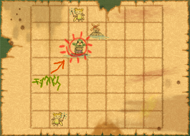
| Summary | Tingle's Chart as seen in The Wind Waker. The map shows the locations of Tingle Island, Windfall Island and the two Wallet-upgrading Great Fairies. The Hylian on it map reads "Chinkuru Tou", meaning "Tingle Island". |
|---|---|
| Type | Screenshot |
| Source | This file lacks a source, please contact the original submitter and add it, or upload a new version of this file. |
| Game | |
| Licensing | 
|
File history
Click on a date/time to view the file as it appeared at that time.
| Date/Time | Thumbnail | Dimensions | User | Comment | |
|---|---|---|---|---|---|
| current | 12:26, 31 August 2010 | | 752 × 540 (164 KB) | Abdullah5599@legacy41961806 (talk | contribs) | Higher resolution |
| 21:34, 19 March 2007 |  | 300 × 211 (11 KB) | Adam660@legacy41957735 (talk | contribs) |
You cannot overwrite this file.
File usage
The following 6 pages use this file: